
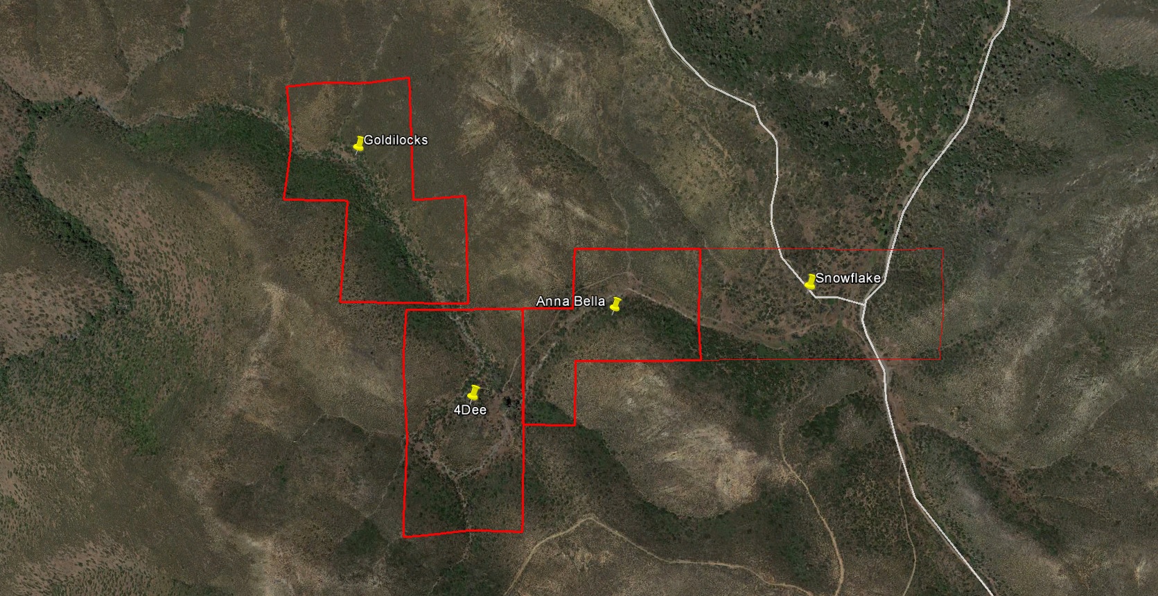
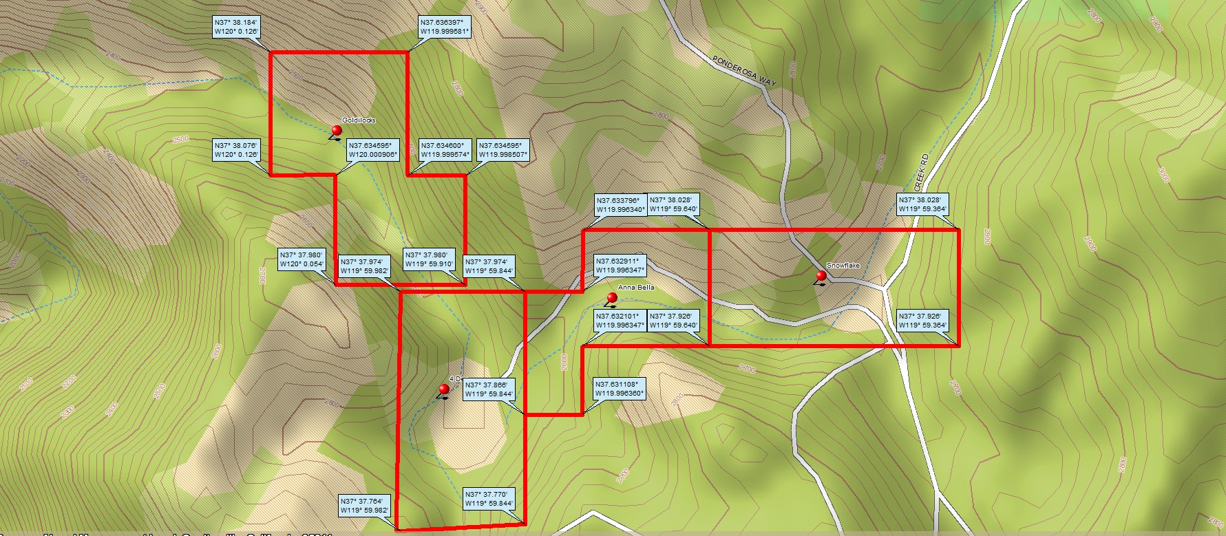
| Claim name: | Anna Bella (CAMC 0314586) |
| Location: | Approximately 3.5 miles NW of Briceburg, CA (as the crow flies) |
| GPS Corners | 37.6329, -119.9974 37.6338, -119.9940 37.6321, -119.9940 37.6311, -119.9974 |
| Size: | 15 acres |
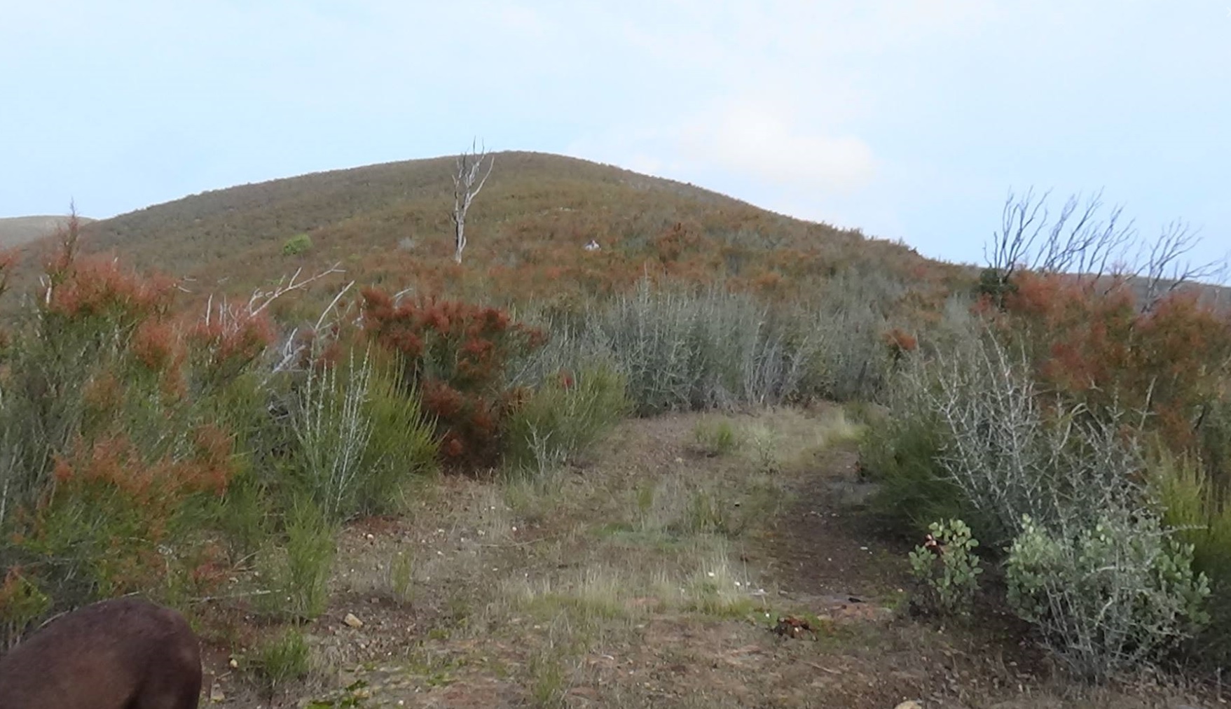
| Claim Description: | Located at the junction of Ponderosa and Bear Creek roads. Seasonal creek on the claim. |
| Dangers: | Snakes. Bears. Heat, depending on the time of year. There is evidence of A LOT of bear activity, scat all over the place in early winter, 2016. |
| Access: | Access could be rough, 4WD or High-clearance vehicle recommended. Other than that, it’s a drive-up, with the road passing through the middle of the claim. Good wilderness camping nearby. |
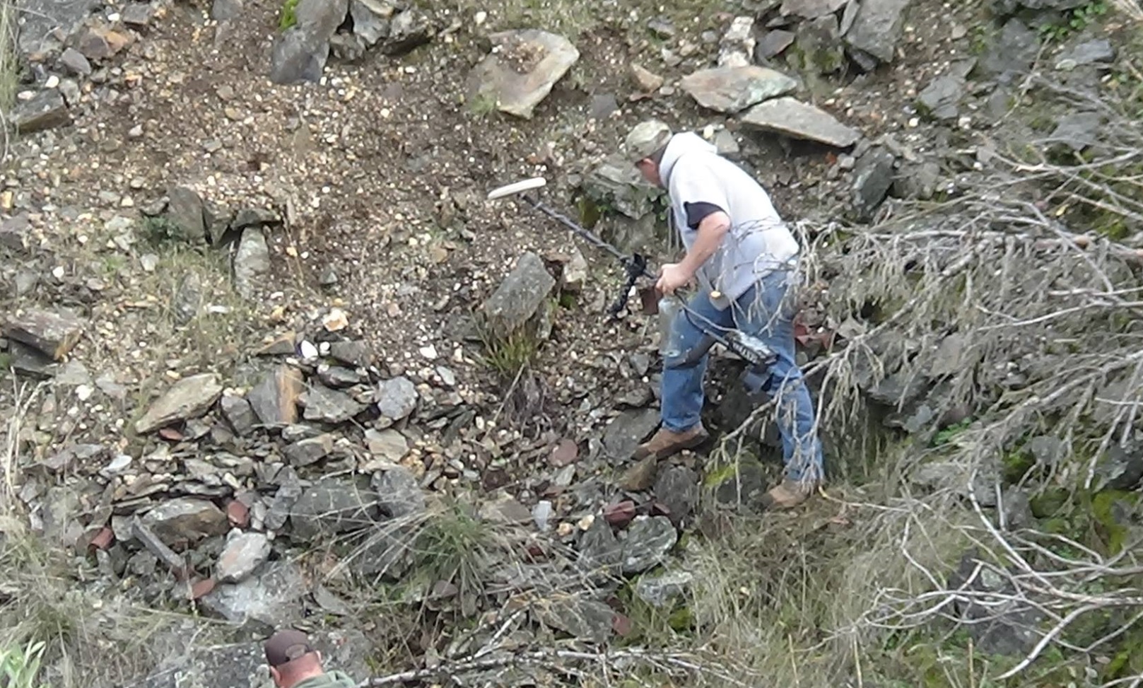
| Gold: | Fine gold, smaller flakes, and the occasional nugget. |
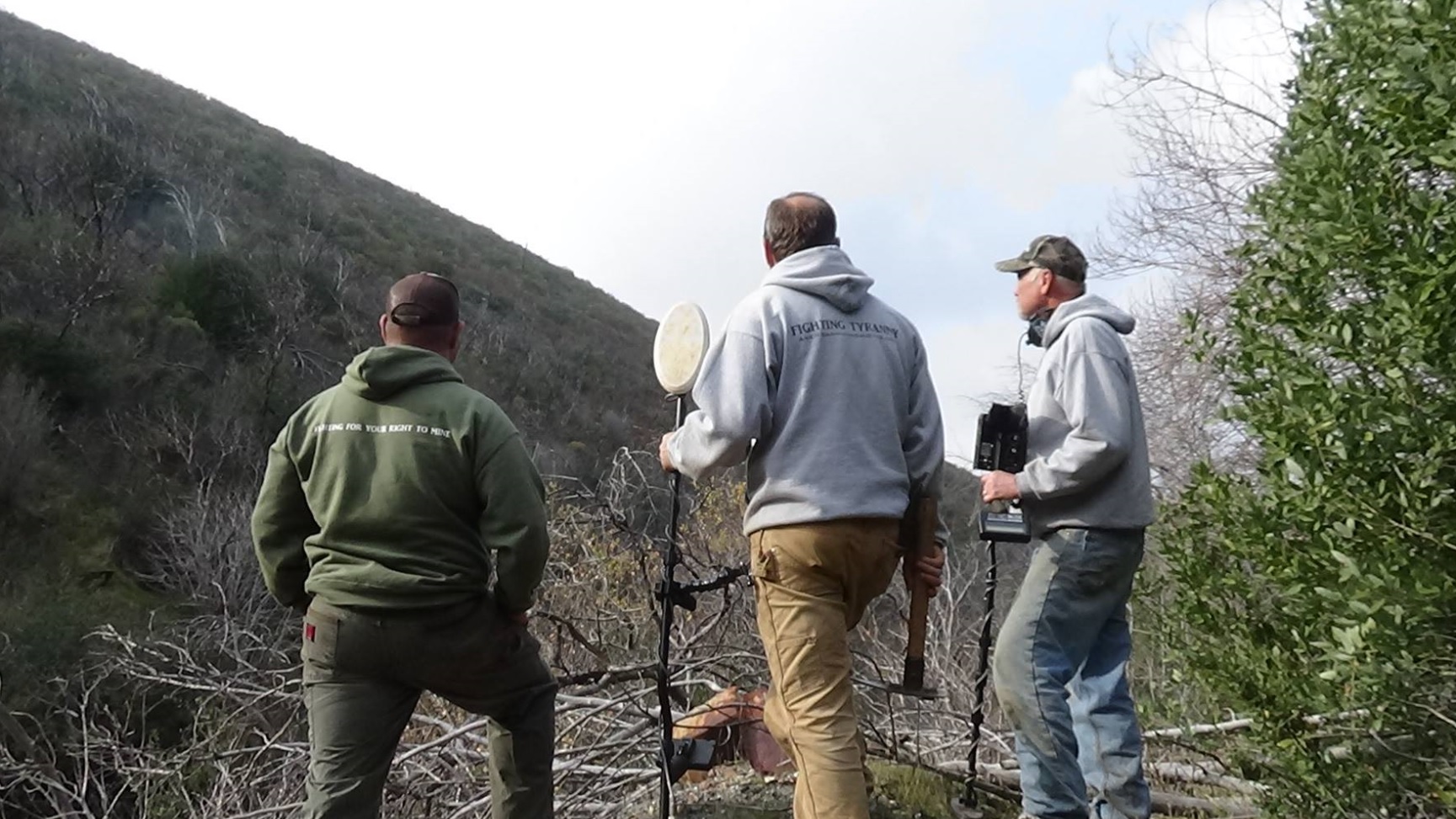
| Methods of mining: | Highbanking, Hand-sluice, Metal Detecting, Panning. There is a seasonal creek which will go dry mid summer – depending on the previous winter’s snow/rain. During drier months it may be just a trickle. If you are doing any water-based mining, you’ll want to dam the creek and recirculate (please tear down your dam when done) Be prepared for *no* water at certain times of the year. There is a spring nearby, but may be nothing more than a trickle during the drier months. |
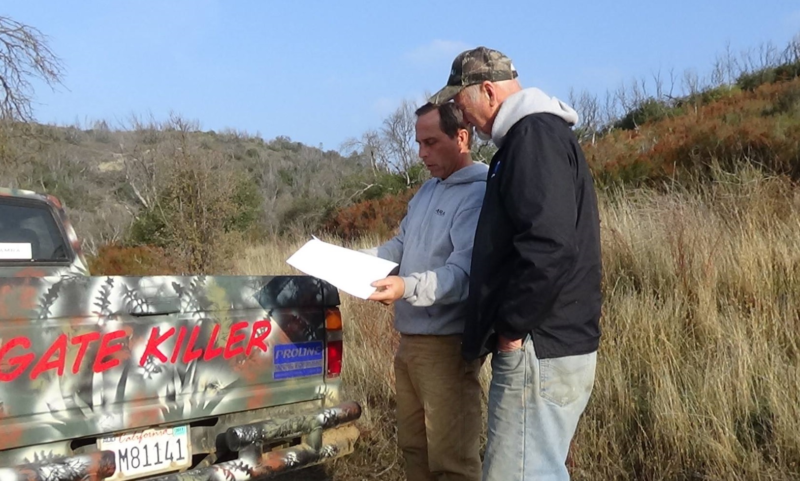
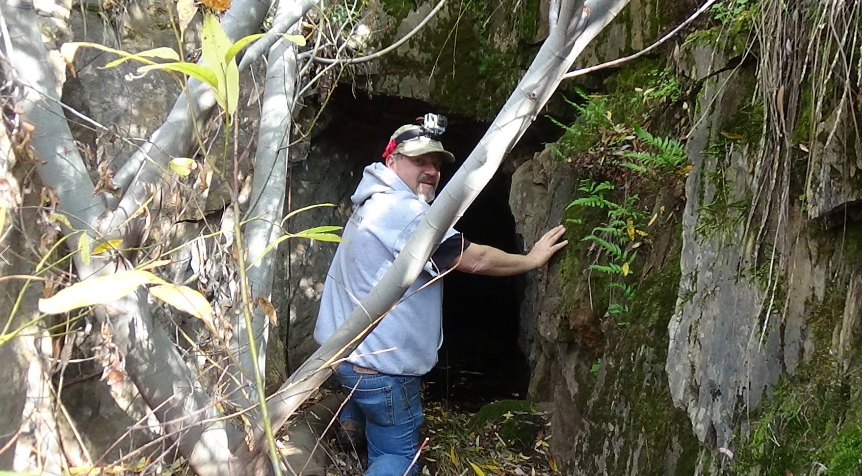
| History: | This area has a very rich history, with many placer and lode mines on record. The entire “Snowflake Group” has incredible potential, but was mostly ignored by the old-timers due to unreliable water supply. AMRA’s trip to investigate this area in the late fall of 2016 was very productive. |
| Video: | For a panoramic video of the claim, (coming soon) |
| Directions: | Directions from Coulterville, CA can be found HERE |
Click on images below for larger pictures.
Aerial view:
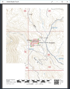
Topographical map of the claim:
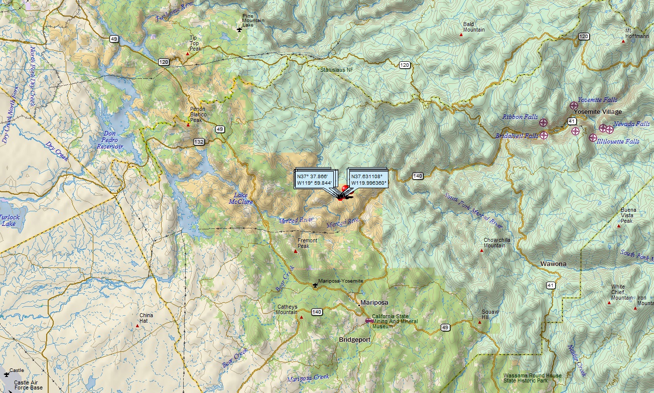
Directions from Coulterville: HERE
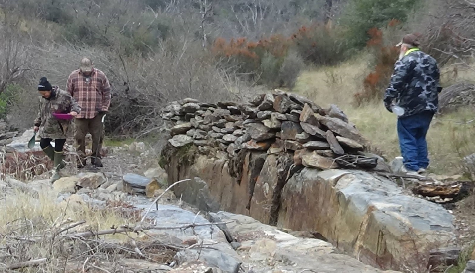
Additional pictures:
For any questions about this page, or if you visit this claim and want to submit a claim report, please email stcullen@americanminingrights.com